
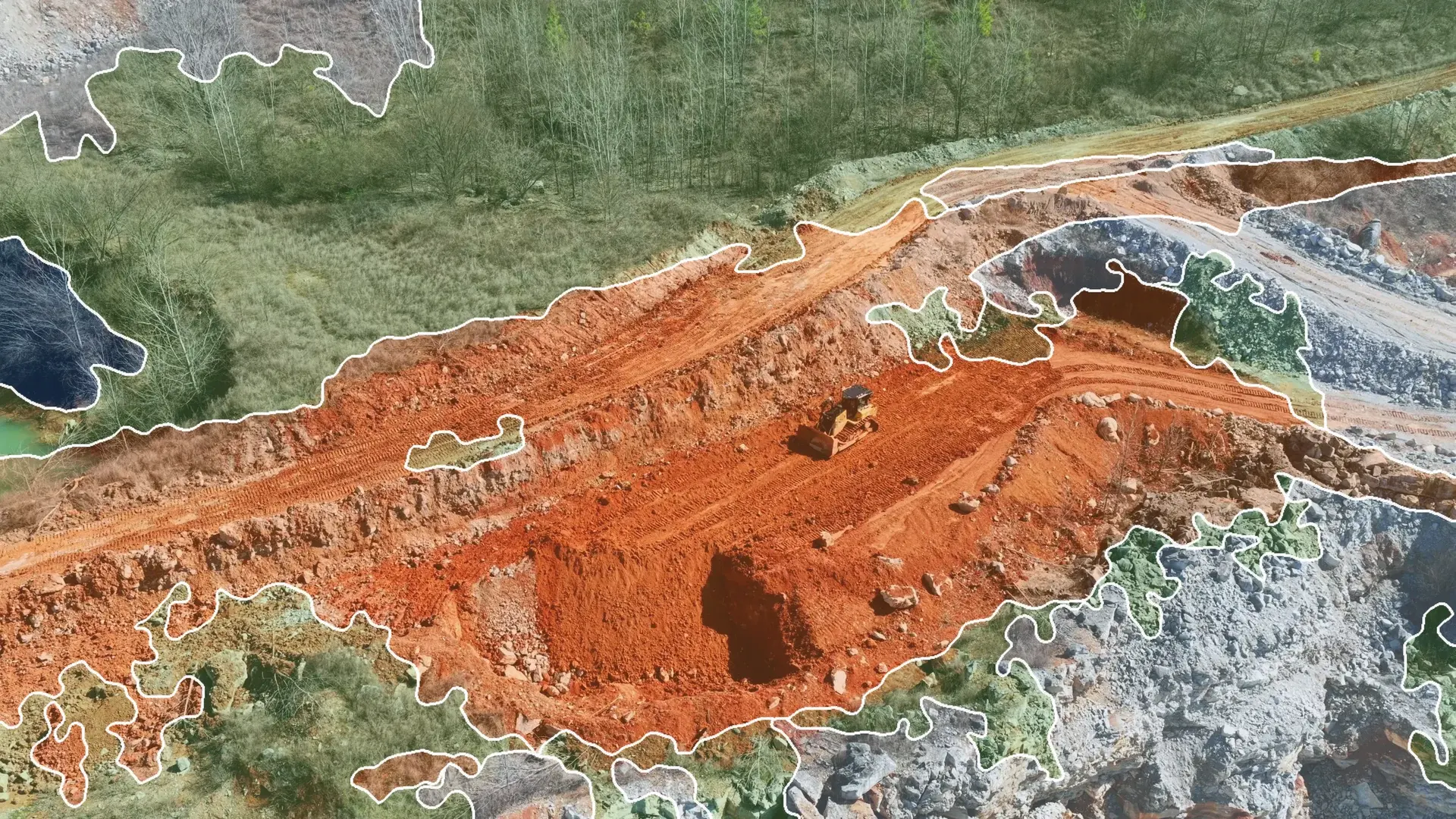



Agriculture
Seen from the drone, every plot shows where water is short and what it will yield.
Drone or satellite images, photos taken in the field and readings, to follow every plot and decide at the right time.
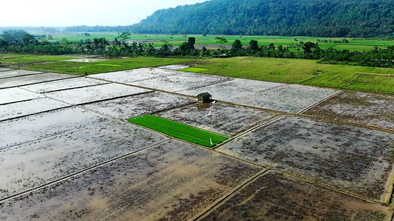
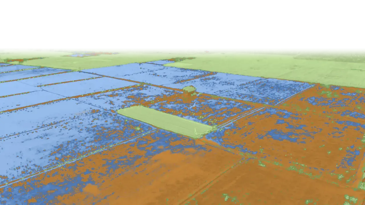 Water, bare soil, vegetation
What the system draws from it
- Plots analysed
- 23
- To irrigate
- 2
- Forecast yield
- 4.1 t/ha on average
- Transplant on
- Thursday
Where we step in.
Plot monitoring
By drone or satellite, crop vigour, areas short of water and areas to treat.
Harvest forecasting
The expected yield, plot by plot, to plan the harvest and the sales.
Diseases and pests
One photo taken in the field is enough to flag them at the first signs.
Irrigation and inputs
Water and fertilise where it is needed, when it is needed.
Contact
Let's talk about your project.
A first conversation to understand your need and see whether AI can meet it.
- contact@gyom-tech.com
- +224 620 56 74 59
- Conakry, Guinea